
Last August, eight days after I completed my first solo overnight canoe trip to Franklin Island, Lily, Porthos, and I drove up to Killarney for a canoe trip around Philip Edward Island. I had only heard about the island a month before heading out. There was a brief period last summer when I binged on YouTube’s selection of solo camping and adventure content. One evening, the algorithm recommended a video by Xander Budnick, “Solo Island Camping.”
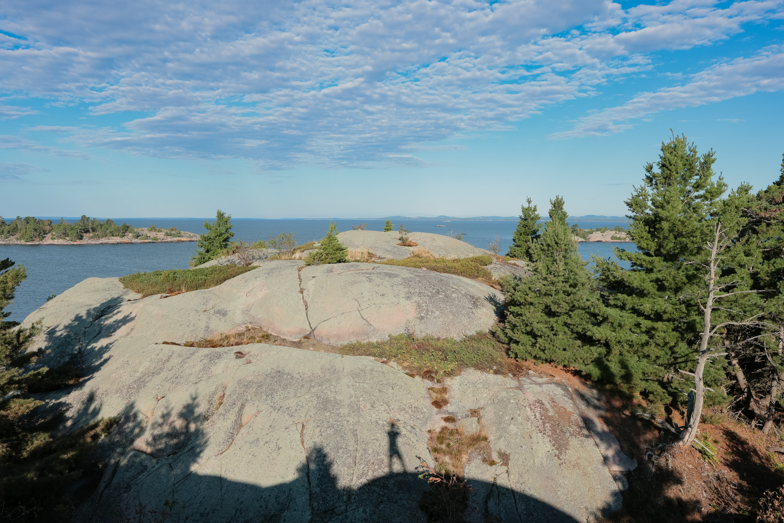
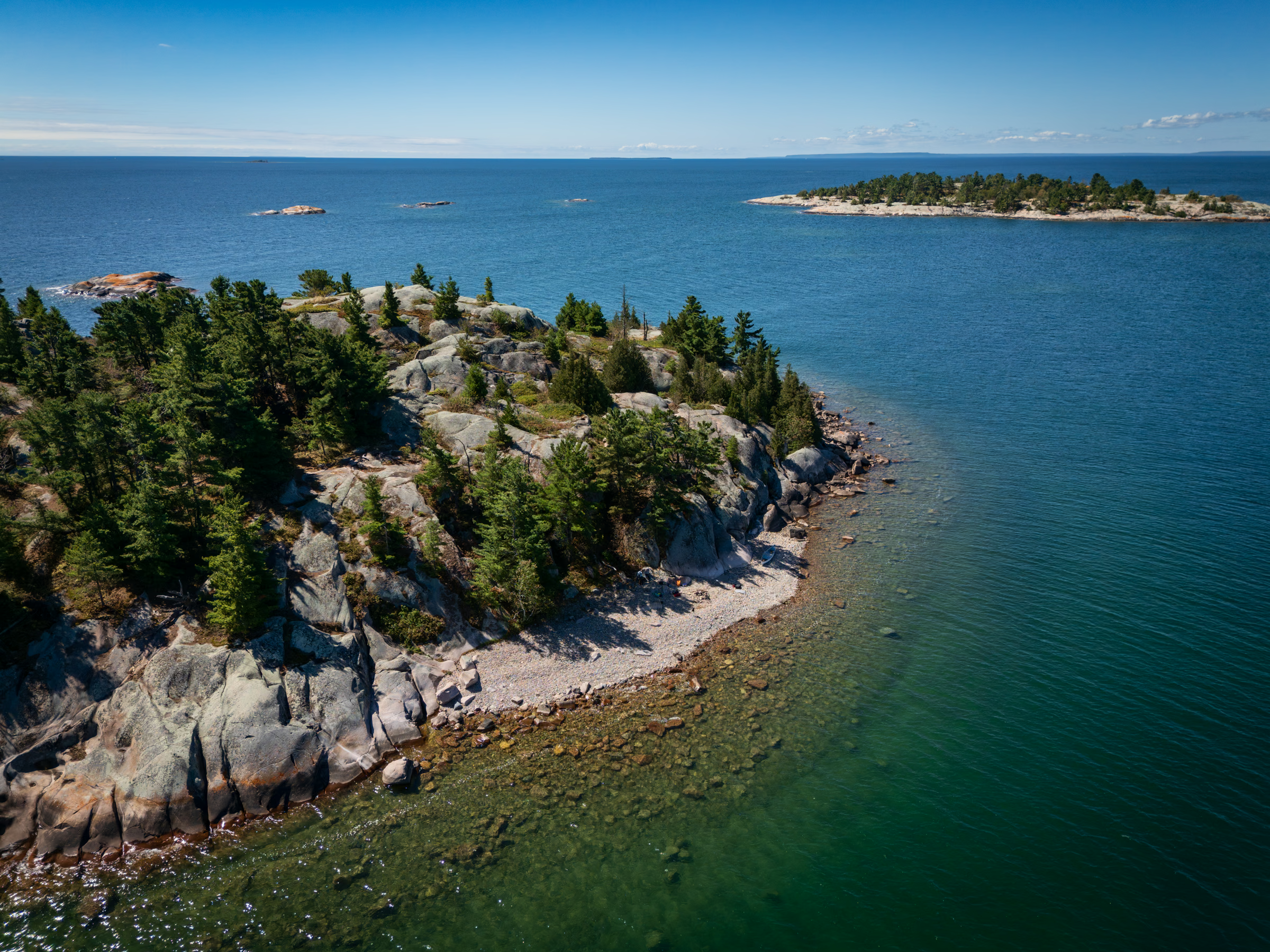
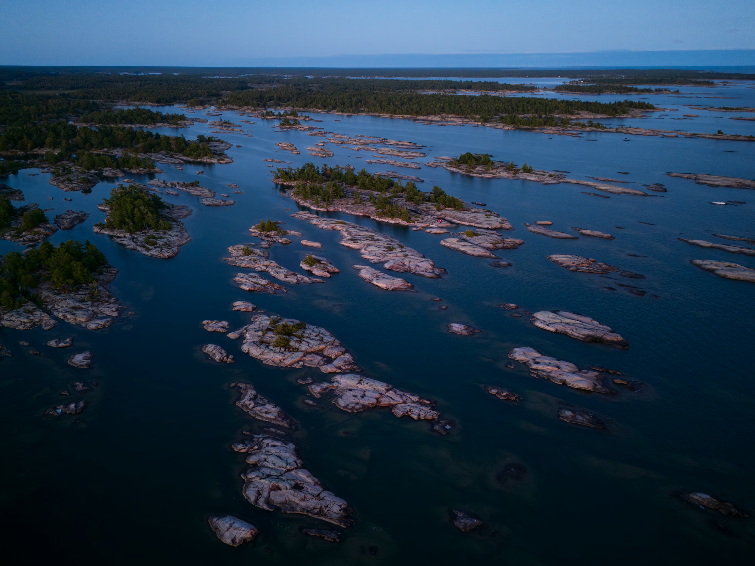
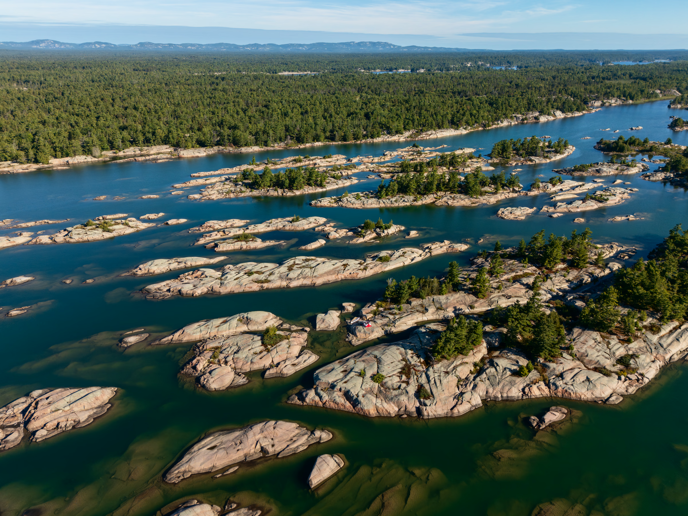
The landscape in the video thumbnail caught my eye because of its similarity to the region around Franklin Island. Except it wasn’t. Philip Edward Island is larger in scale, at about 47 kilometres around instead of 15 kilometres. Almost half of that distance is through a relatively narrow channel called Collins Inlet, which runs along the north side of the island and faces Killarney Provincial Park, adjacent general-use Crown land, and the First Nations-owned Point Grondine Park.
Our plan was to circumnavigate the island in three nights and four days. However, due to our own craziness, we finished the trip in two nights and three days.

Day 1: Chikanishing River to Centre Fox island
As always, we departed our home far later than planned, which put some pressure on our timing. Since the area is Crown land, camping’s permitted anywhere, but there’s a limited number of spots actually suitable for it. These are marked on most paddling maps of the island. My point is that, although we had a group of islands in mind, whether we’d find an adequate spot before nightfall was a mild concern.
We had some confusion at the Chikanishing parking lot. I’d bought four days of parking in advance (at $15 per day), but the instructions were sparse about whether any special check-in or display was necessary. Another park user eventually told me I could just park anywhere, since my purchase was already in the park’s system.
While unloading our car and moving our canoe and equipment to the floating dock on the river, we ran into an older couple who were also preparing their canoe. We had a brief chat and discovered they both work in the film industry and live within a 10-minute walk of our place in Toronto. Small world.
As we talked, an elderly group of kayakers pulled up to the dock and warned us that it was windy beyond the river mouth. We’d been mindful of wind conditions leading up to the trip. In fact, I’d been feverishly checking marine forecasts to pick the least windy days within our trip window.
Lily and I must’ve given off some amateur canoeist vibes, because the other couple kept insisting that our intended destination—a group of islands called the Foxes—was too far given the current conditions and remaining daylight. They recommended paddling west toward Dave’s Bay or Georges Bay instead.
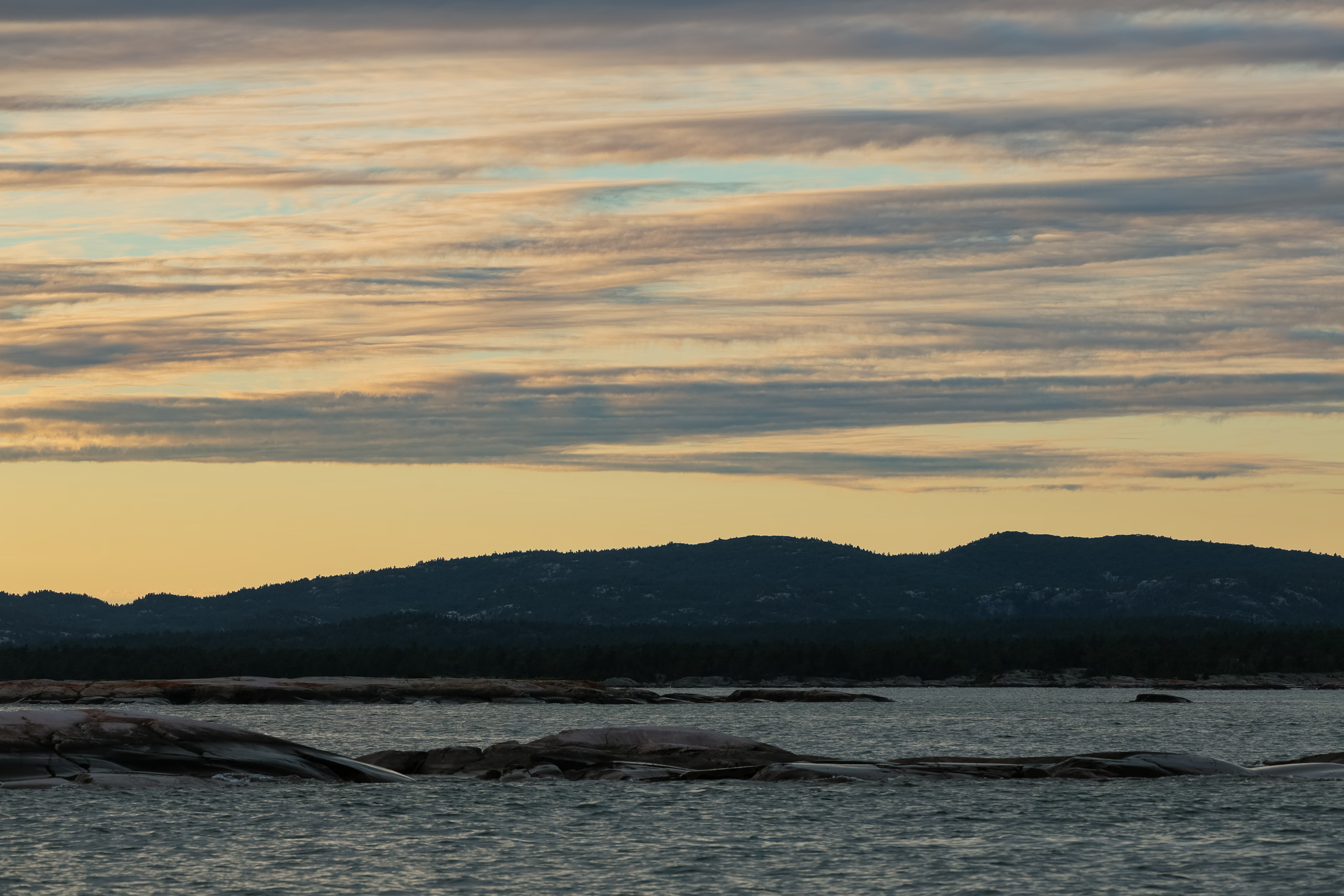
We chose to play it by ear and make our final decision after seeing the conditions in the Western Entrance to Collins Inlet. The short paddle along the Chikanishing River was calm, pleasant, and brief—a stark contrast to the conditions we encountered after pushing into more open water. We donned our PFDs, assessed the situation, and concluded it was safe to push ahead.
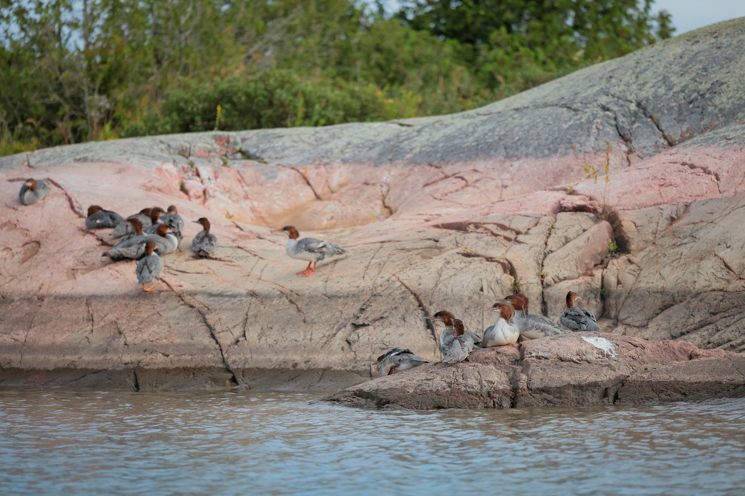
I’d bought a paper version of Jeff’s Map of Killarney, which included a high-resolution digital version that became our primary navigation tool. With the map on my phone in hand, we paddled along the shore and between scattered rocks and islets before turning toward the Foxes. Along the way, every marked campsite we passed was occupied by other paddlers.
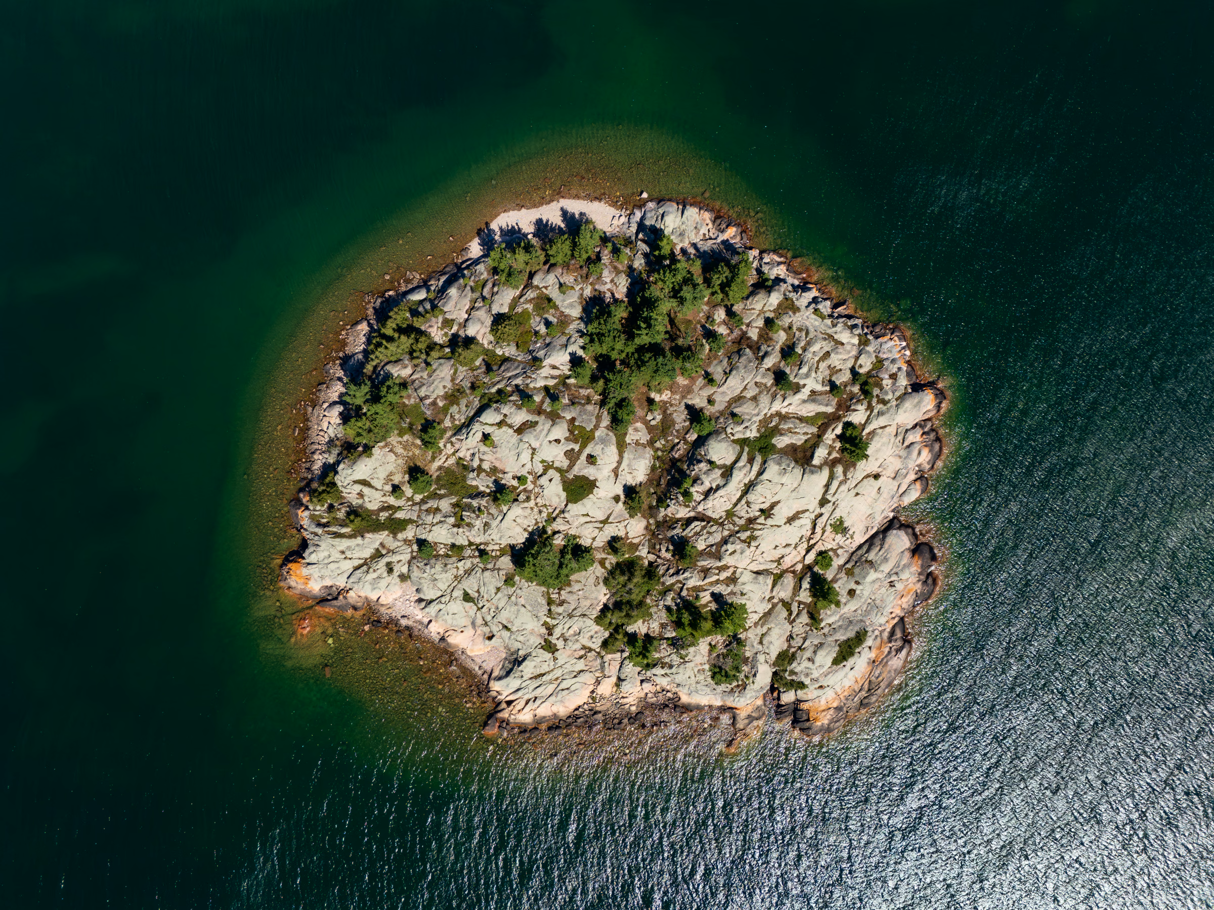
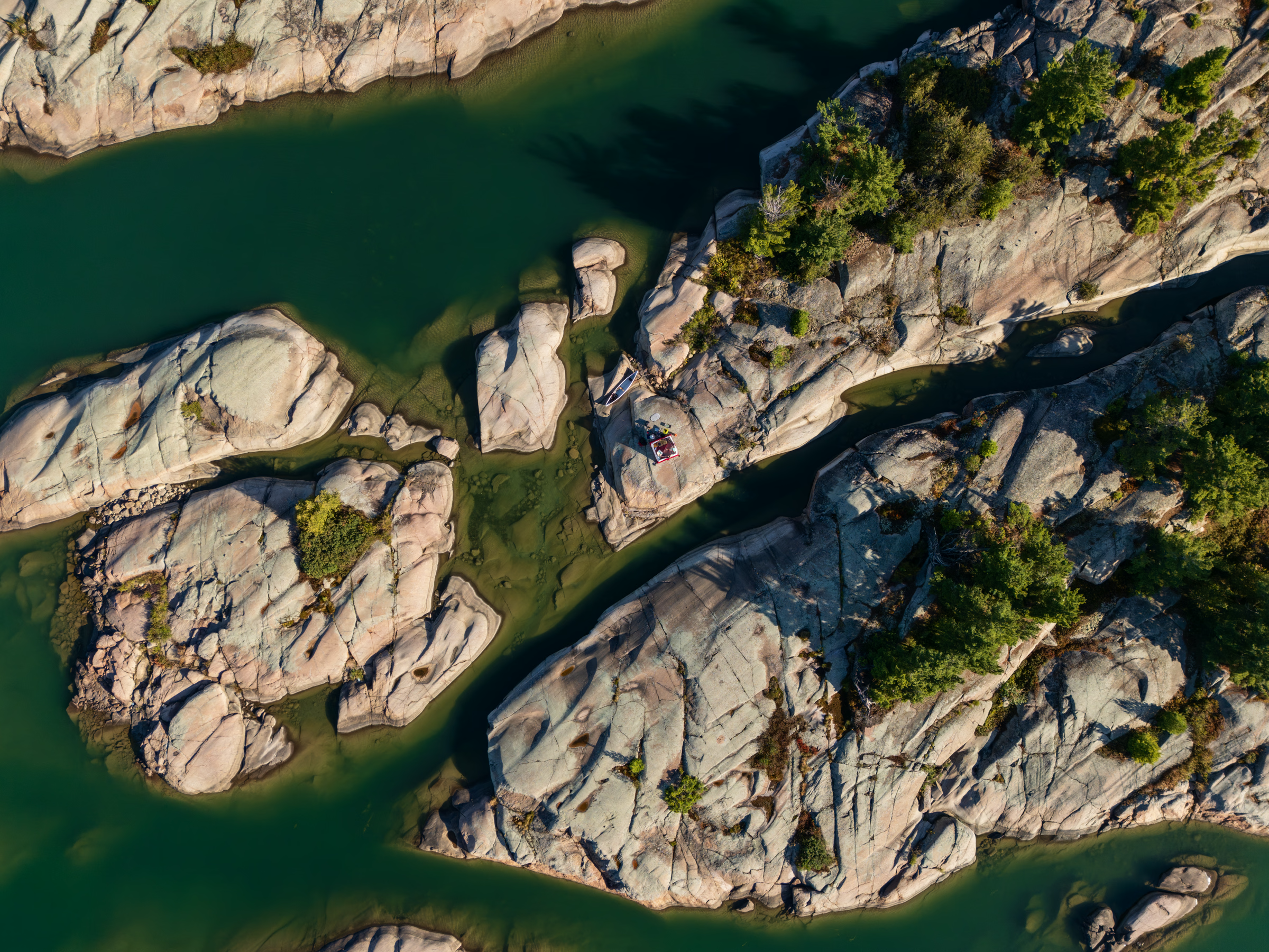
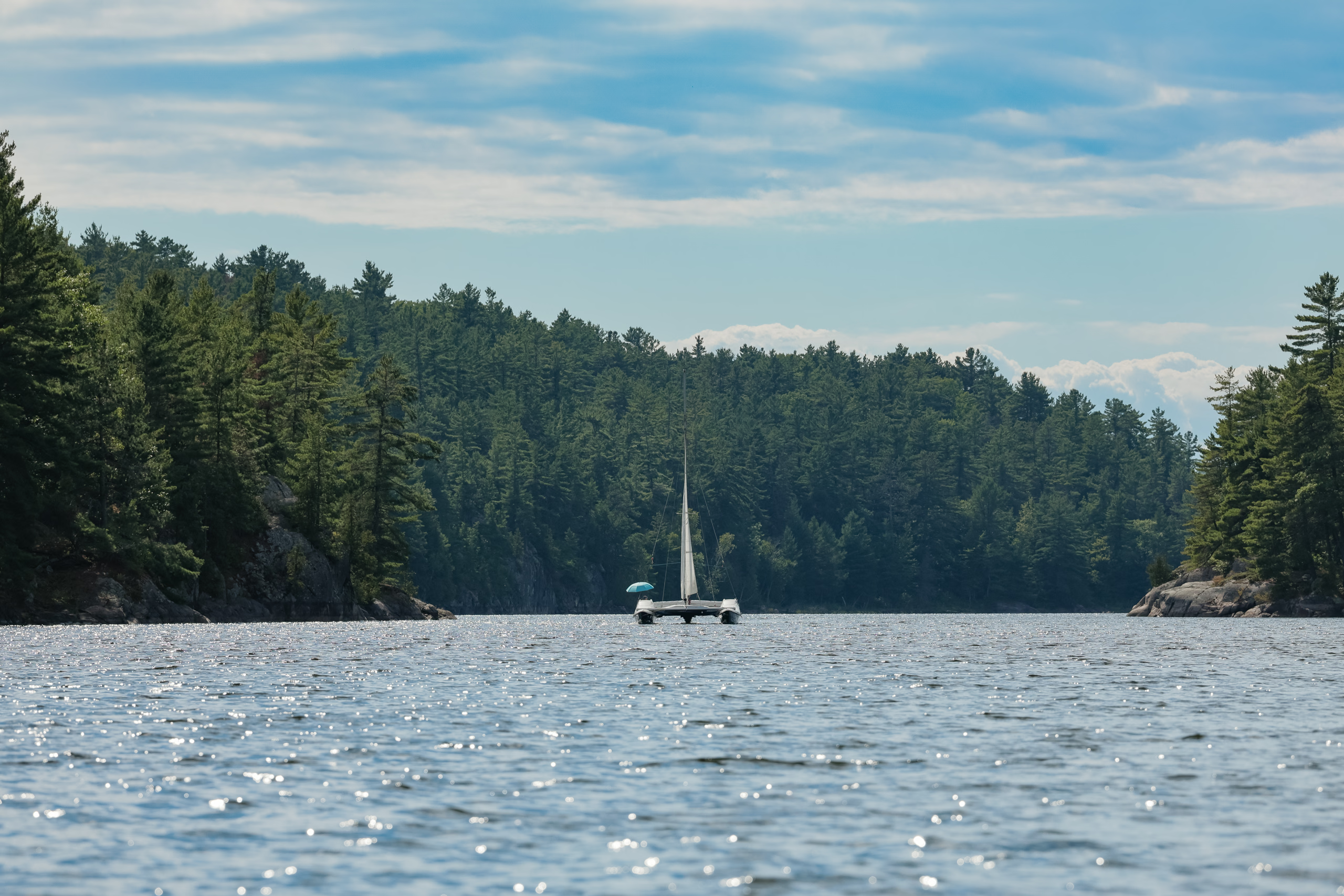
The Foxes are a trio of islands: Sly Fox, Big Fox, and Centre Fox. The first two were visibly occupied, but the marked campsite on the third was out of sight.
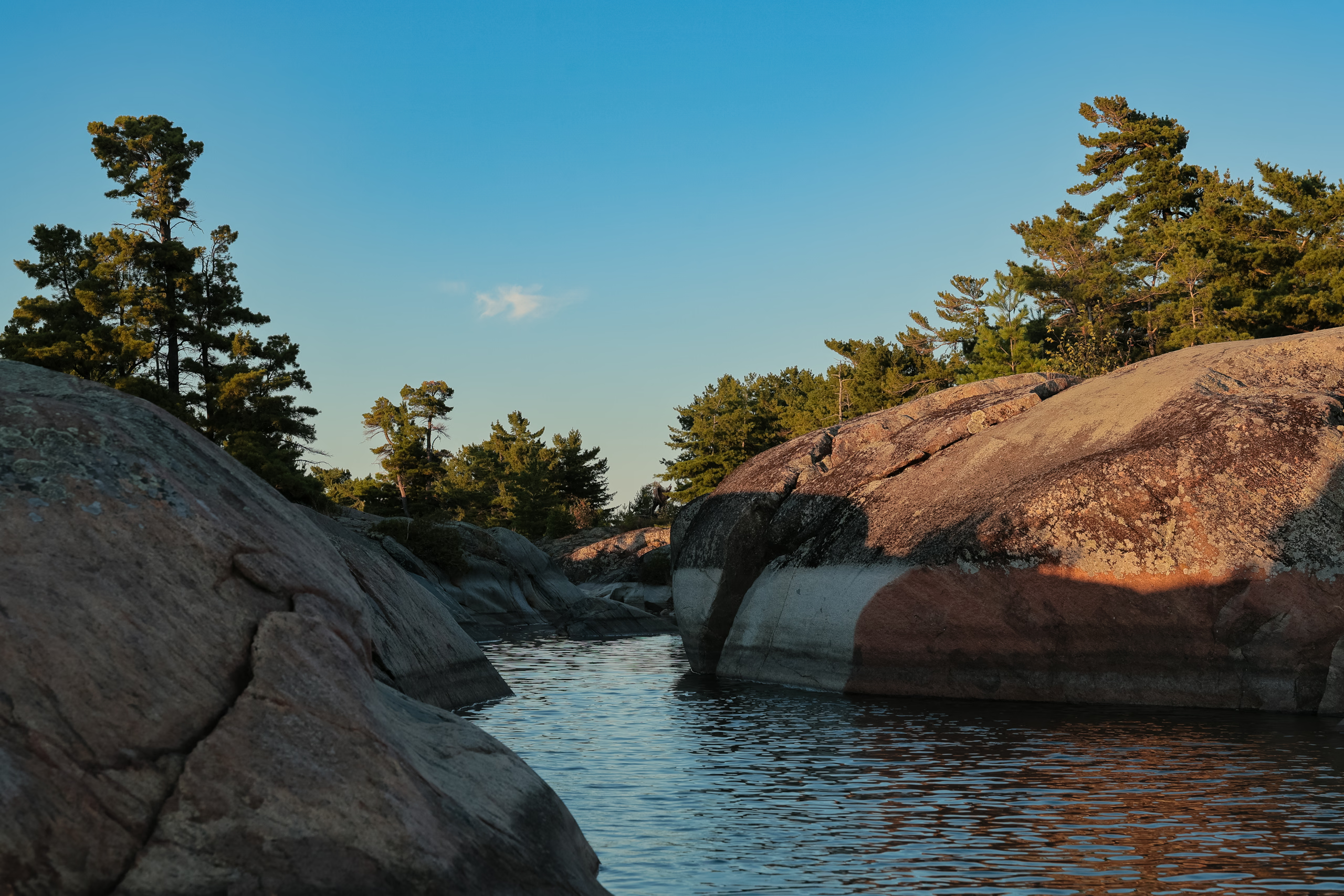
By this point, sunset was fast approaching, and conditions on the water were getting hairy. We decided to risk giving it a look, despite spotting a welcoming rocky beach on the island’s northern face. The waves had grown to an unsettling 0.5 to 1 m tall—thankfully slow and well spaced. It was an inconvenient time to discover a small error on Jeff’s map: as we rounded toward the south side of Centre Fox Island, no viable campsite was visible. Even if there had been one, making landfall with waves crashing against the boulders would’ve risked capsizing the canoe or damaging its hull.
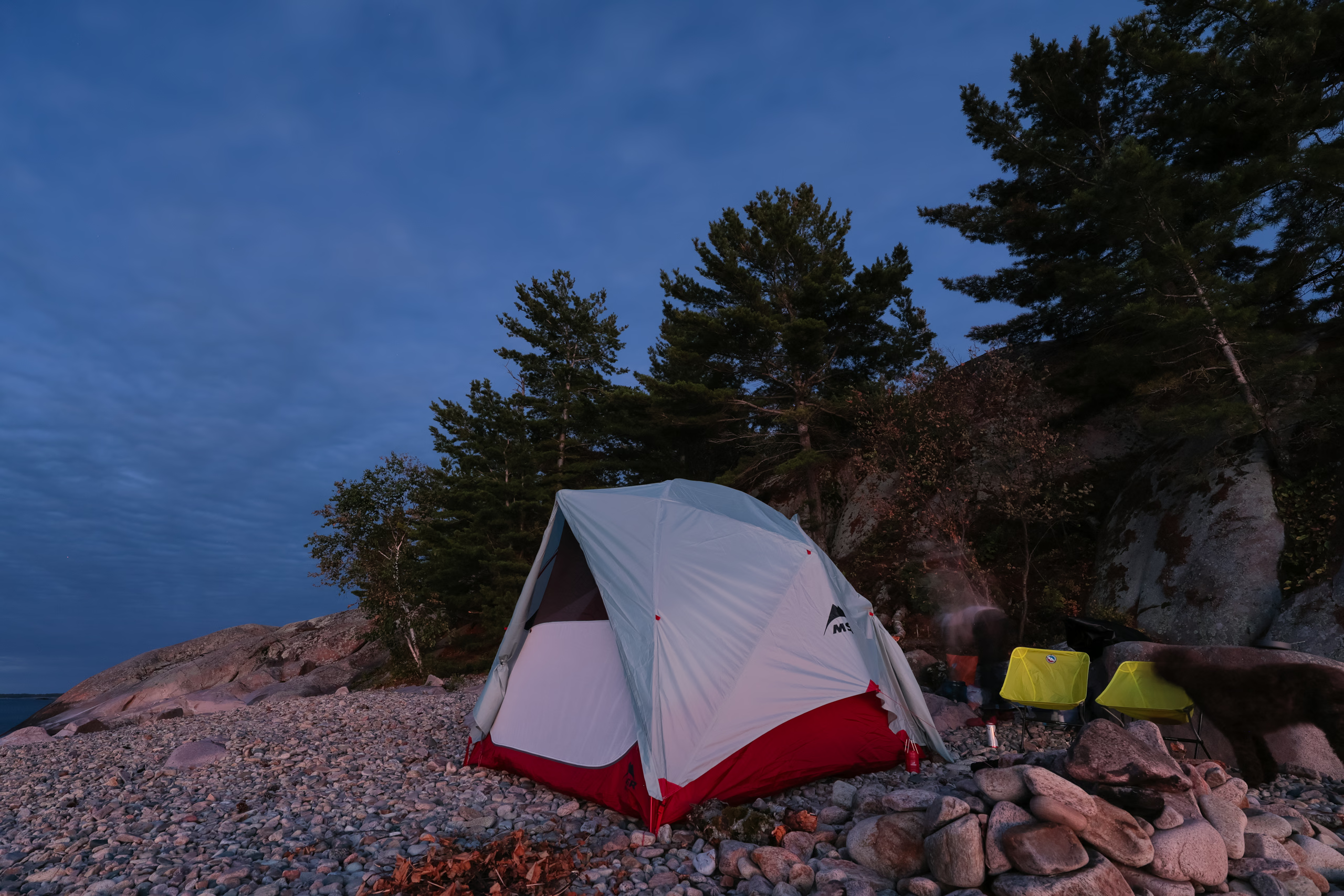
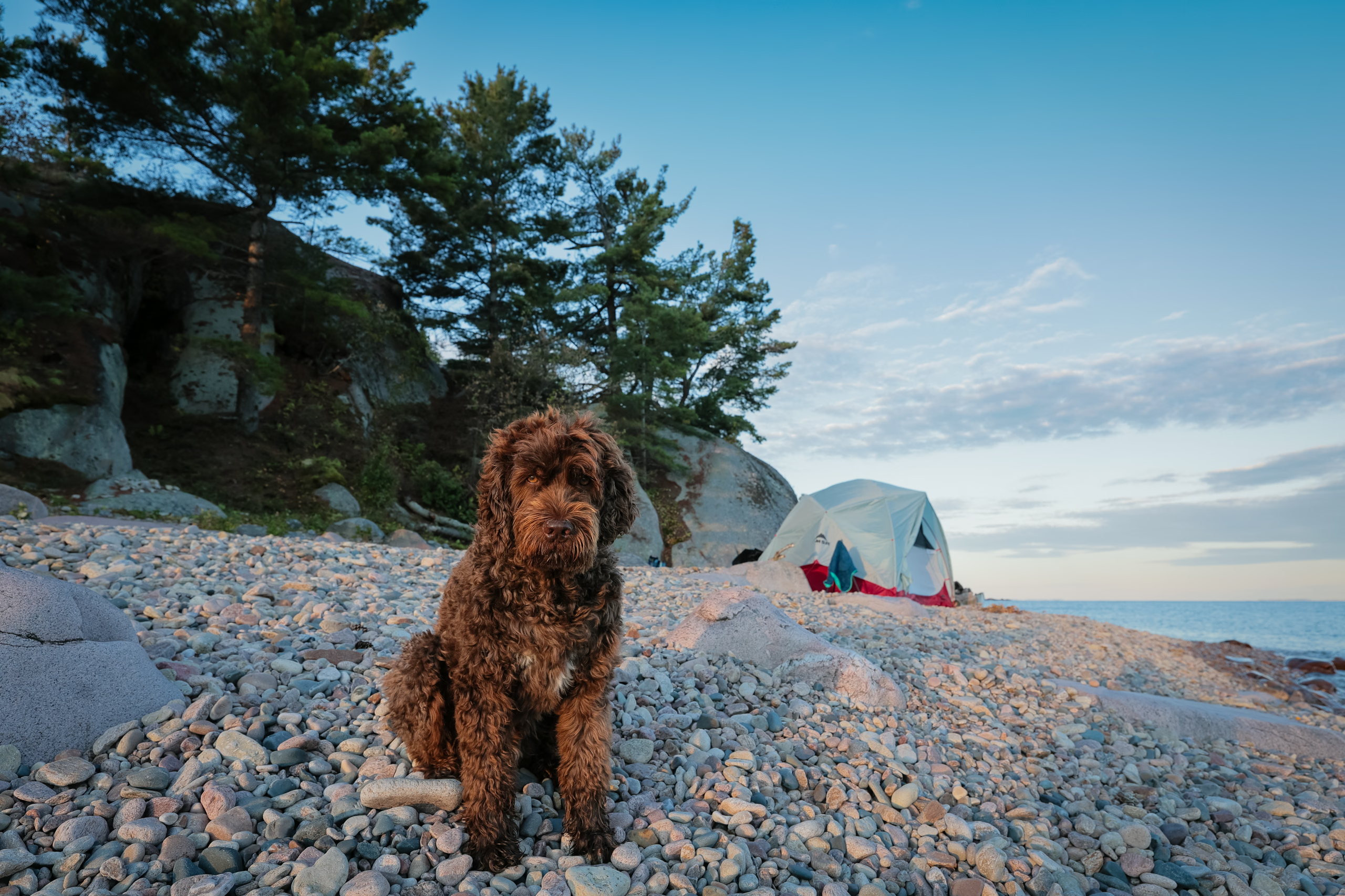
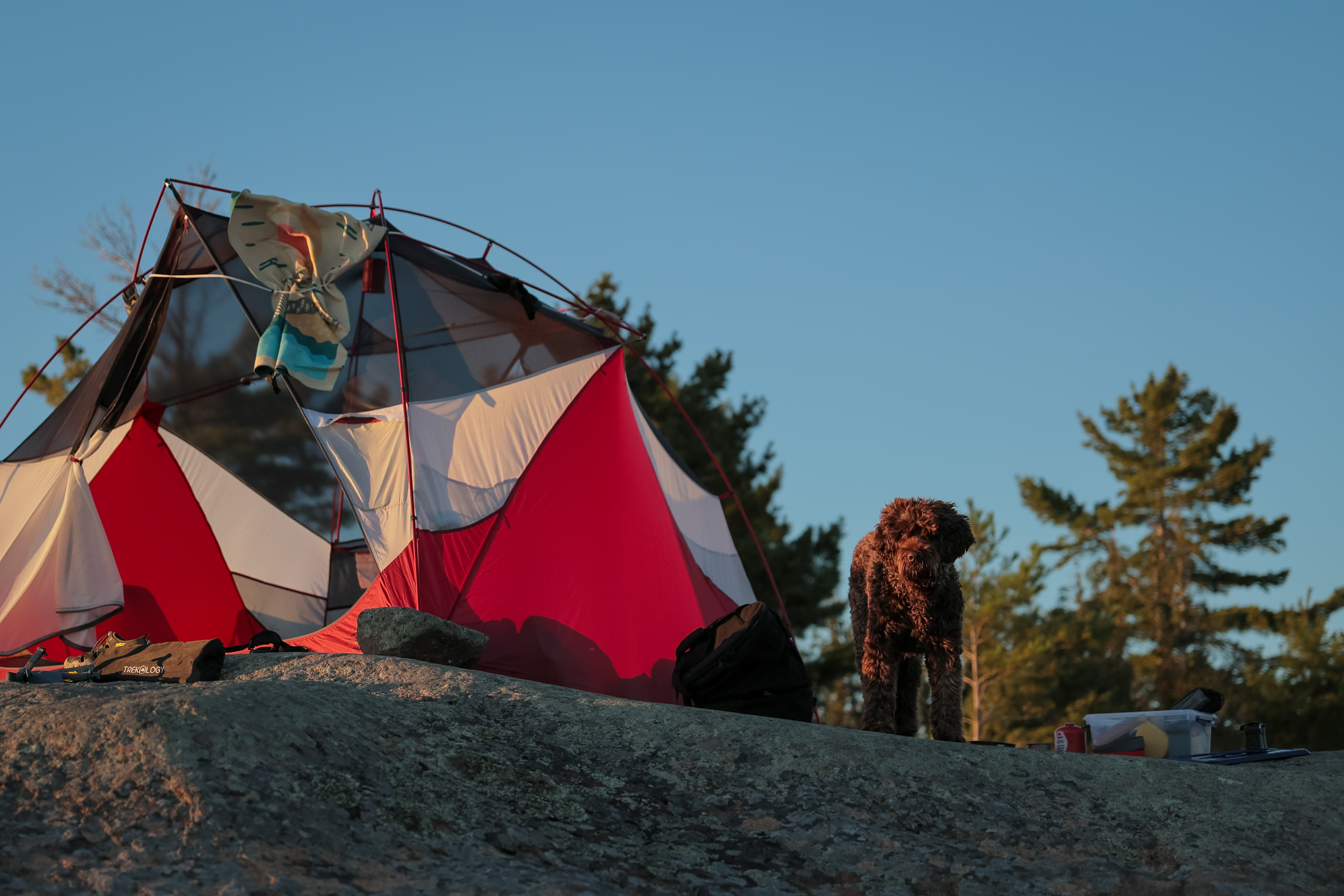
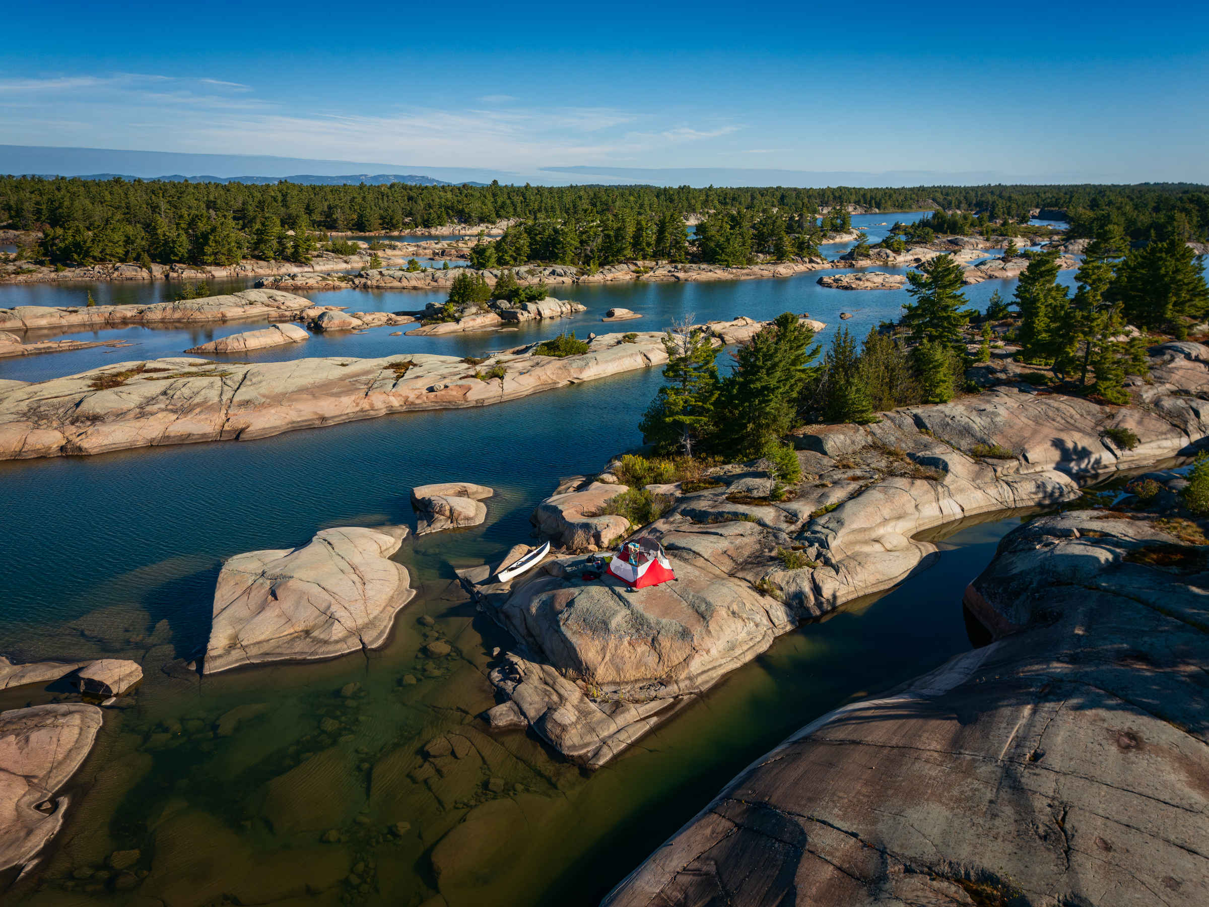
Then we remembered that, on our approach, the north side of the island had a rocky beach sheltered from the southern wind. We circled back to take a closer look. It turned out the north side was the correct access point. The rocks on the beach were quite large, but with a plush-enough sleeping pad, it’s possible to camp right there. That’s what we did.
I later discovered that the “true” campsite—the kind with level ground, tree cover, and an absence of pokey rocks—is further inland, just a short but relatively steep climb above the beach.
Day 2: Centre Fox island to Moose Bay
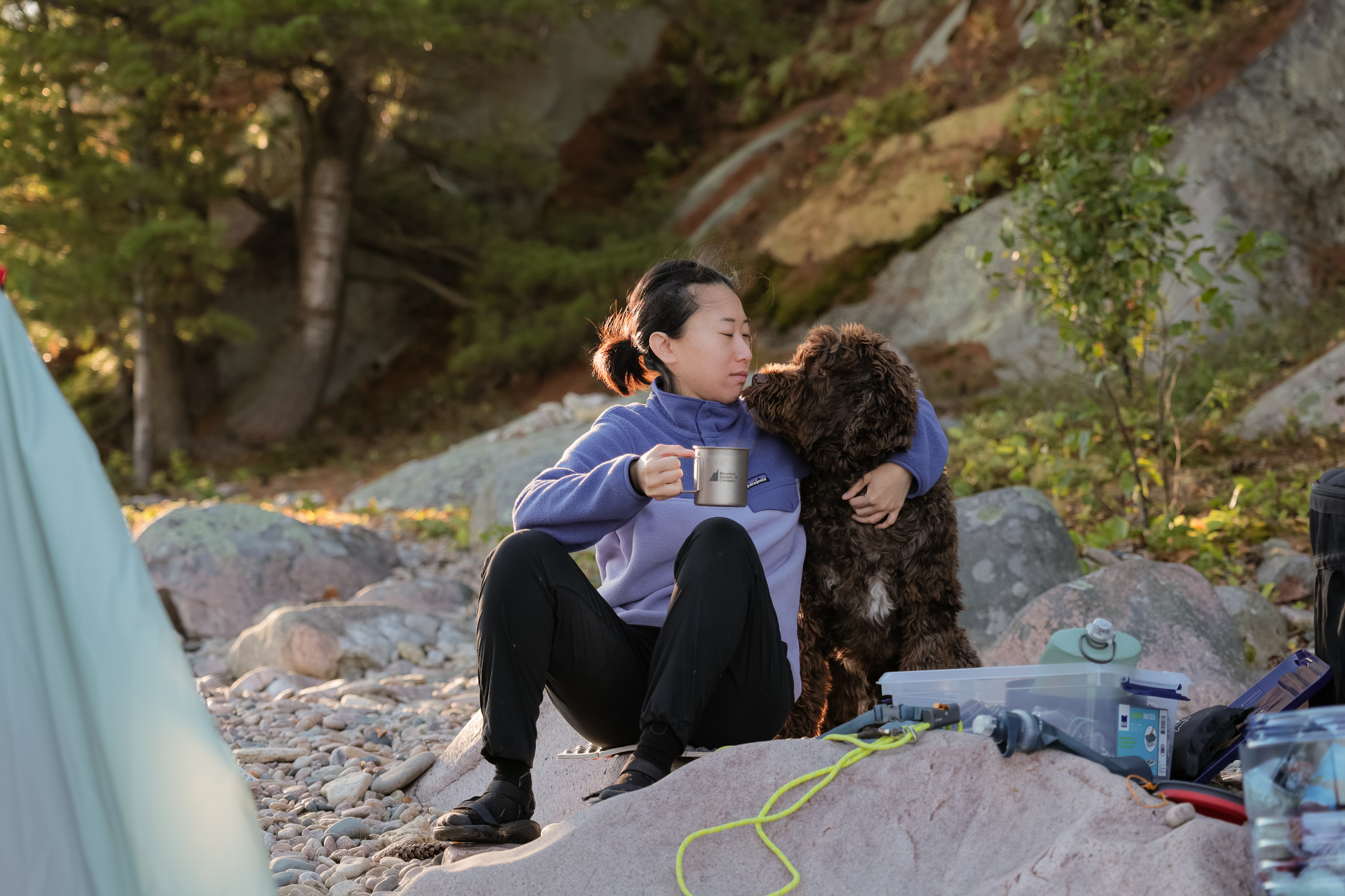
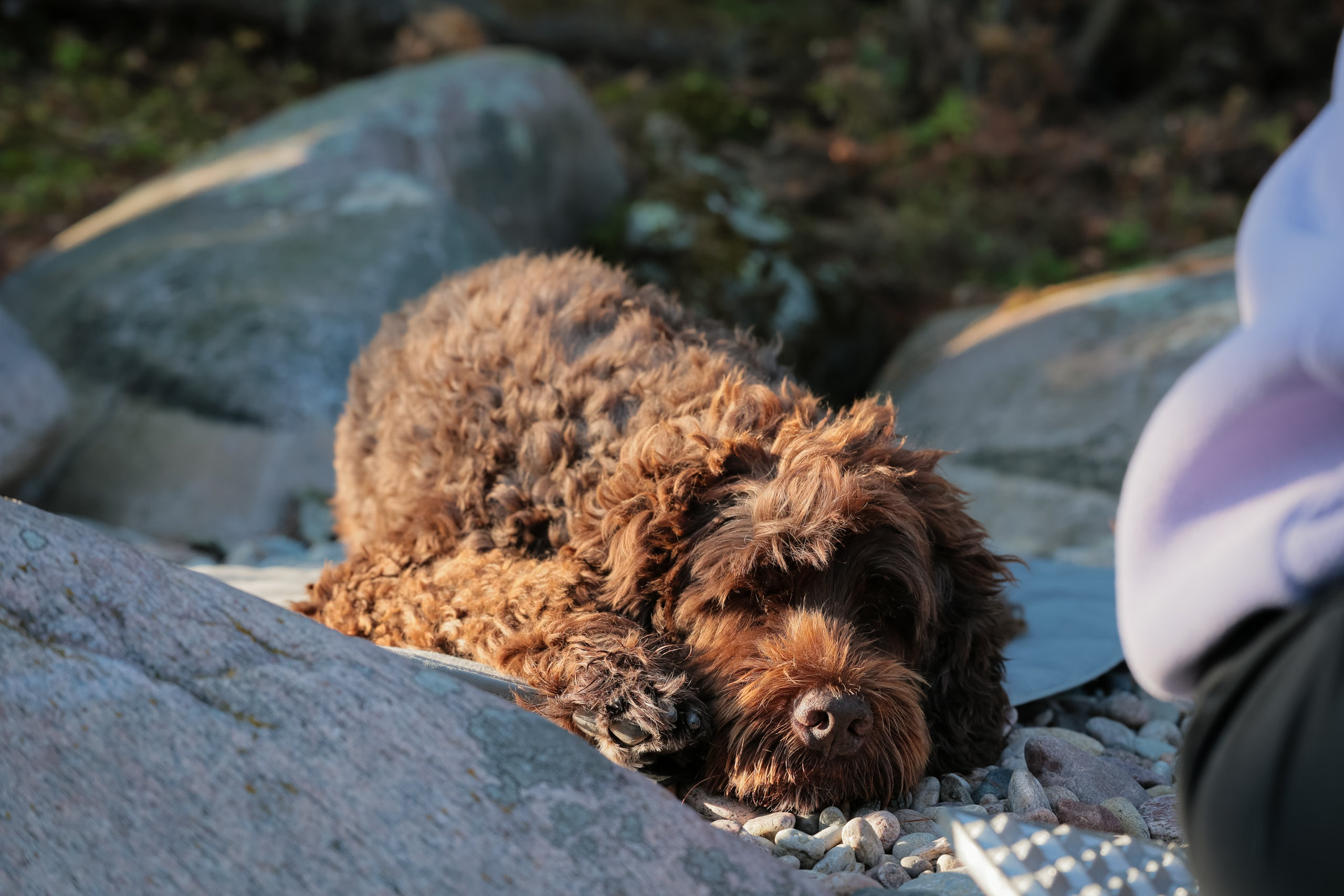
Sleeping on lumpy rocks wasn’t the most pleasant experience. Neither was being so close to shore on a windy night, since I’d periodically hear the loud crash of waves. By the time we woke, the wind had either died down or shifted direction. We took turns exploring the island after breakfast, partly because we didn’t want to risk Porthos running and jumping around the steep rocks in excitement, and partly because we each required some, ugh, privacy.
A notable difference between the Crown land campsites around Franklin Island and Philip Edward Island is the absence of volunteer-run thunderboxes. The Outer Islands Project stewards campsites along the eastern shore of Georgian Bay. I’m not aware of any such organization or charitable endeavour around Philip Edward Island. So if you plan to poo, bring a small shovel or trowel, and bury that shit.
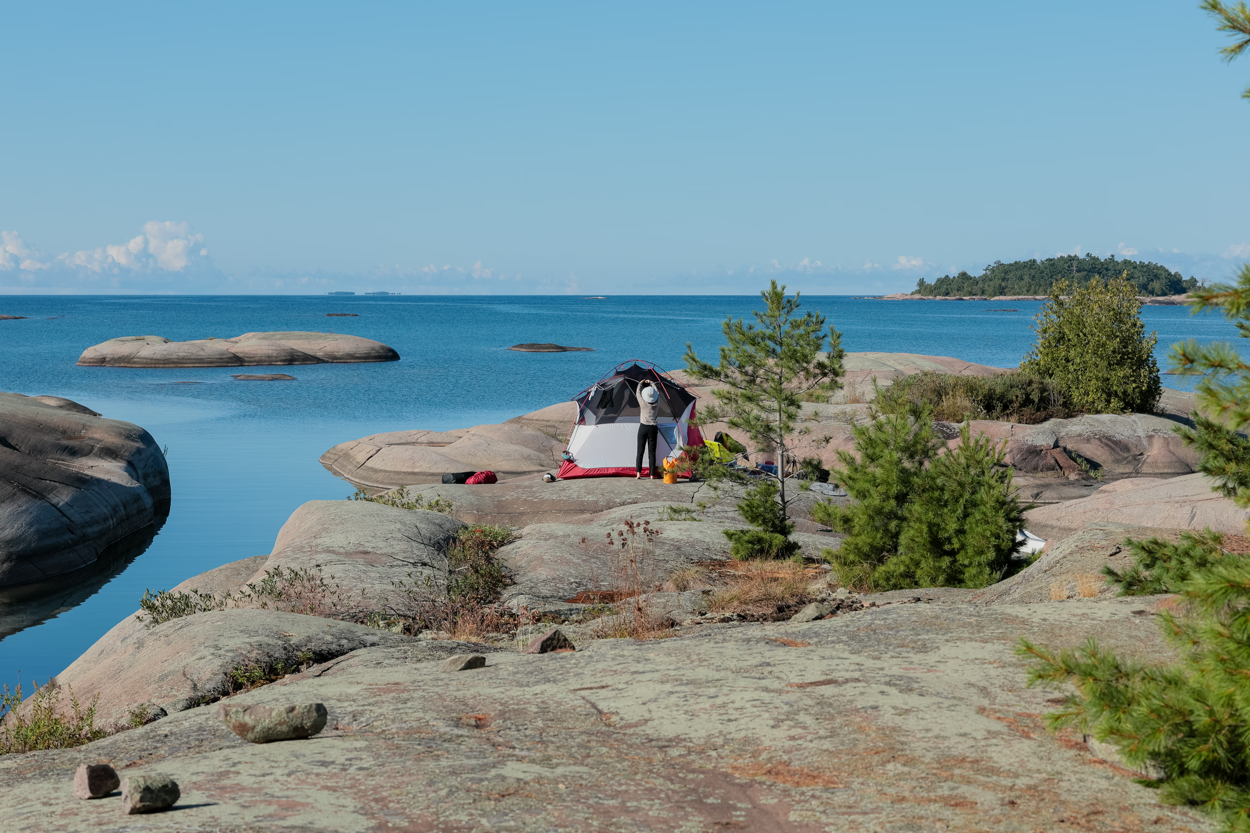
As the morning progressed, we bathed and packed up. Toward the end, the wind had once again picked up or shifted direction, putting significant strain on the now-empty tent and flexing its frame alarmingly. Lily helped me pack it up as neatly as possible under the conditions, and then we set off.
Although we didn’t have a concrete destination in mind, the couple from the previous day had suggested West Desjardin Bay. It’s scenic and dotted with dozens of tiny islands, but upon arrival, every campsite was occupied. We took a short snack break in the bay of an unnamed island, watching a freshwater snake slink into the water while Porthos rolled around in sappy pine needles.
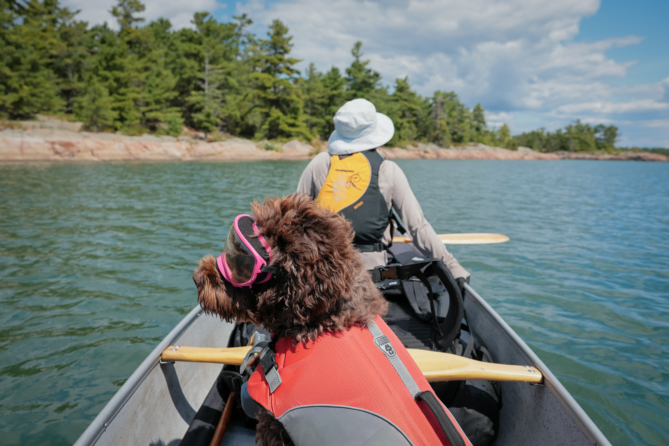
We continued paddling east with a light wind off our starboard that threatened to spin us around whenever I eased my strokes. Thankfully, we weren’t exposed to strong waves, and whenever we noticed chop ahead, we knew it was caused by submerged boulders and steered clear.
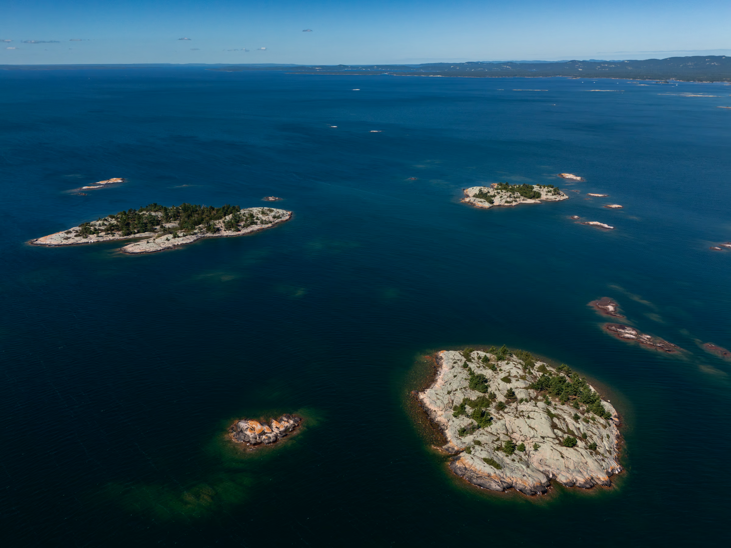
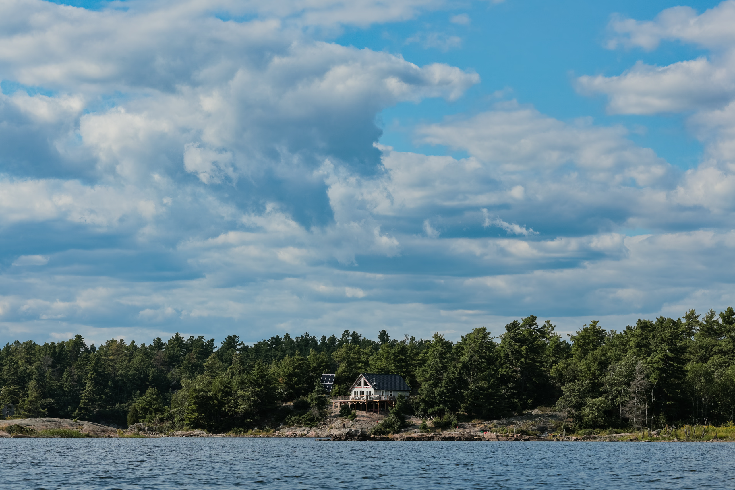
Silver Island Channel was unusually difficult to locate despite having a digital map with our live coordinates. We avoided the Big Rock Portage by canoeing around the promontory with its five campsites, all occupied, and pushed on toward Moose Bay. The map showed several campsites scattered throughout the bay, and we were eager to pull in for the evening.
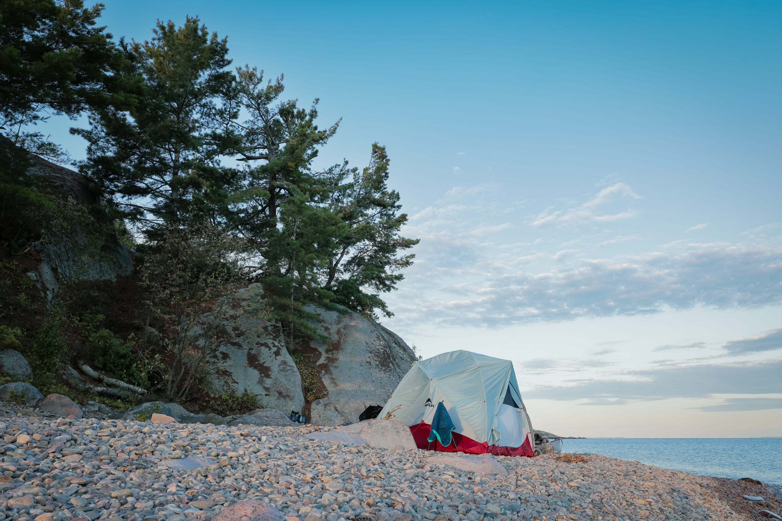
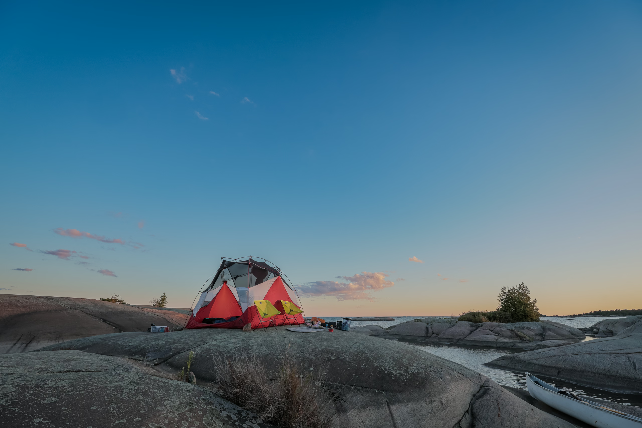
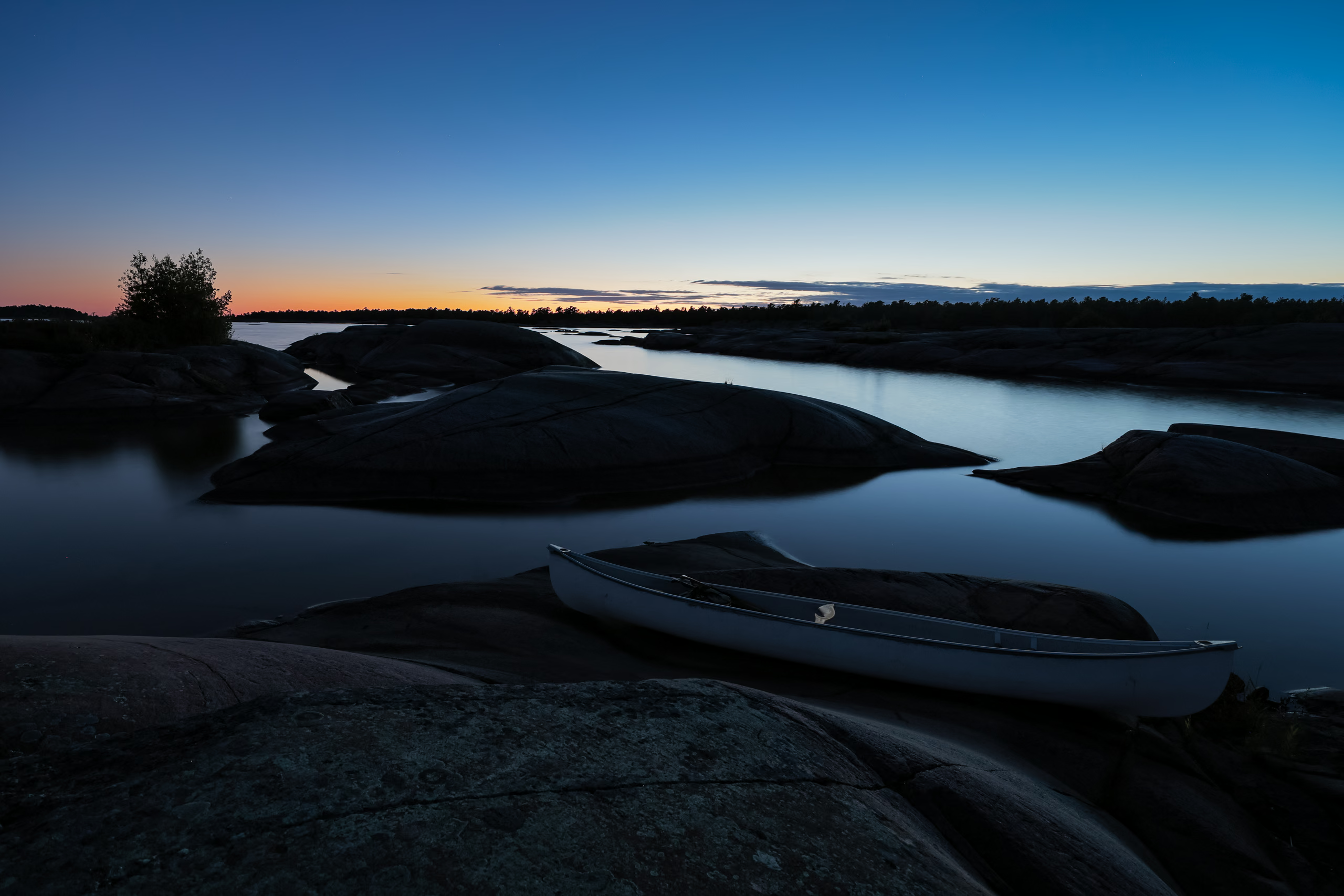
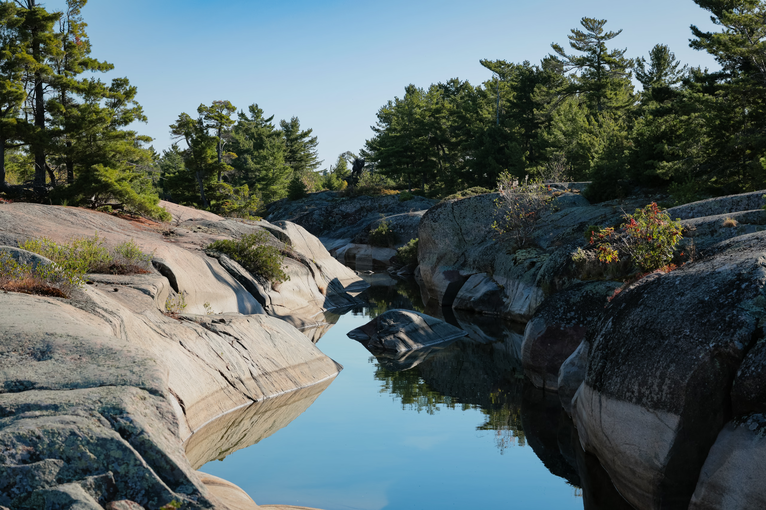
Once in the sheltered waters of Moose Bay, we explored a few options. Six of the seven marked campsites were free, and we settled on the first one we saw, on another unnamed island. We pitched the tent on the flattest section of a large bald boulder sloping toward a narrow channel between islands, where we parked the canoe. Previous campers seemed to prefer a different area, judging by the tie-down rocks scattered further inland.
Day 3: Moose Bay to Chikanishing River
The sun woke us on day three. I’d had a marvellous sleep: no wind, no creepy or distracting sounds, and a clear, star-filled sky. It was the first time I’d really paid attention to the flurry of satellite activity overhead. The steady march of rows of $tarLink satellites was especially eye-opening.
While packing up after breakfast, Lily decided to prepare some snacks for the day ahead. We’d brought chocolate-covered almonds, and they’d partially melted in yesterday’s heat. Lily’s idea was to resolidify them in the comparatively cool lake water. Smart in theory, except they weren’t in a waterproof bag. By the time we were ready to go, our snack had become a soggy pouch of waterlogged chocolate—utterly inedible.
Our plan for the third day was even more nebulous than before. There weren’t many campsites left on the south-facing side of Philip Edward Island: a handful on Deer and Hincks islands, a single spot near Burnt Island, and then nothing until Mill Lake, almost halfway through Collins Inlet.
We wished for the best and unknowingly set off on the most unhinged paddle of our lives.
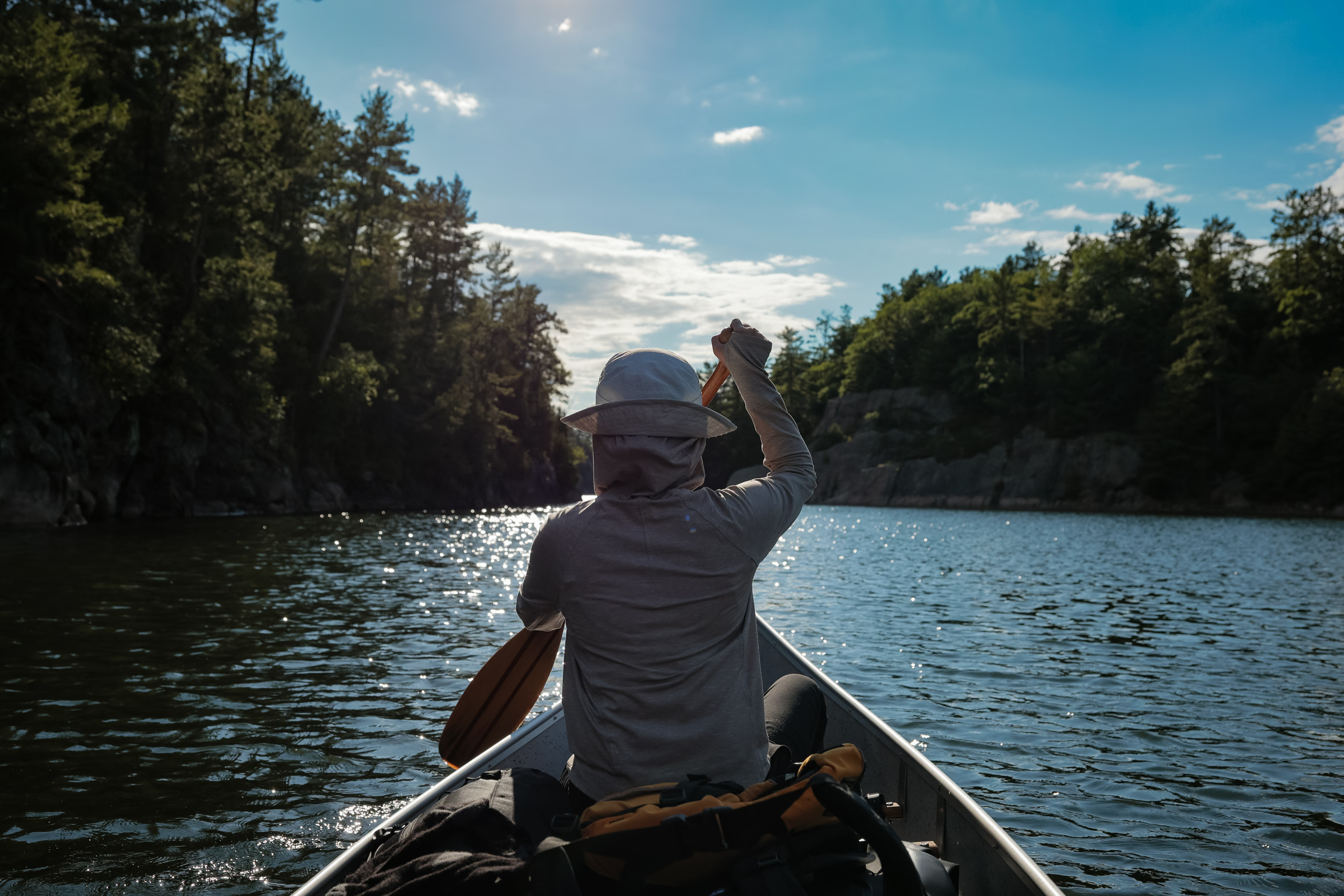
Trouble found us just over a kilometre from camp. It was windy, and although the waves were slow and well spaced, they were large enough to keep us in our PFDs for a third straight day. In areas with hidden underwater rocks, the water turned chaotic.
For a brief and frightening moment, we grounded the canoe on a narrow submerged rock ridge. A wave carried us forward, and as we dropped into its trough, we stalled. I stepped out knee-deep onto the ridge to free us just as another wave slammed into the side of the canoe. It knocked us loose but dumped several buckets of water into the boat, which sloshed around my feet until we reached calmer water.
North of Hincks Island, we entered a shallow, sandy stretch and had to walk the canoe through it. Once clear, I took advantage of the calm water to bail out what remained inside.
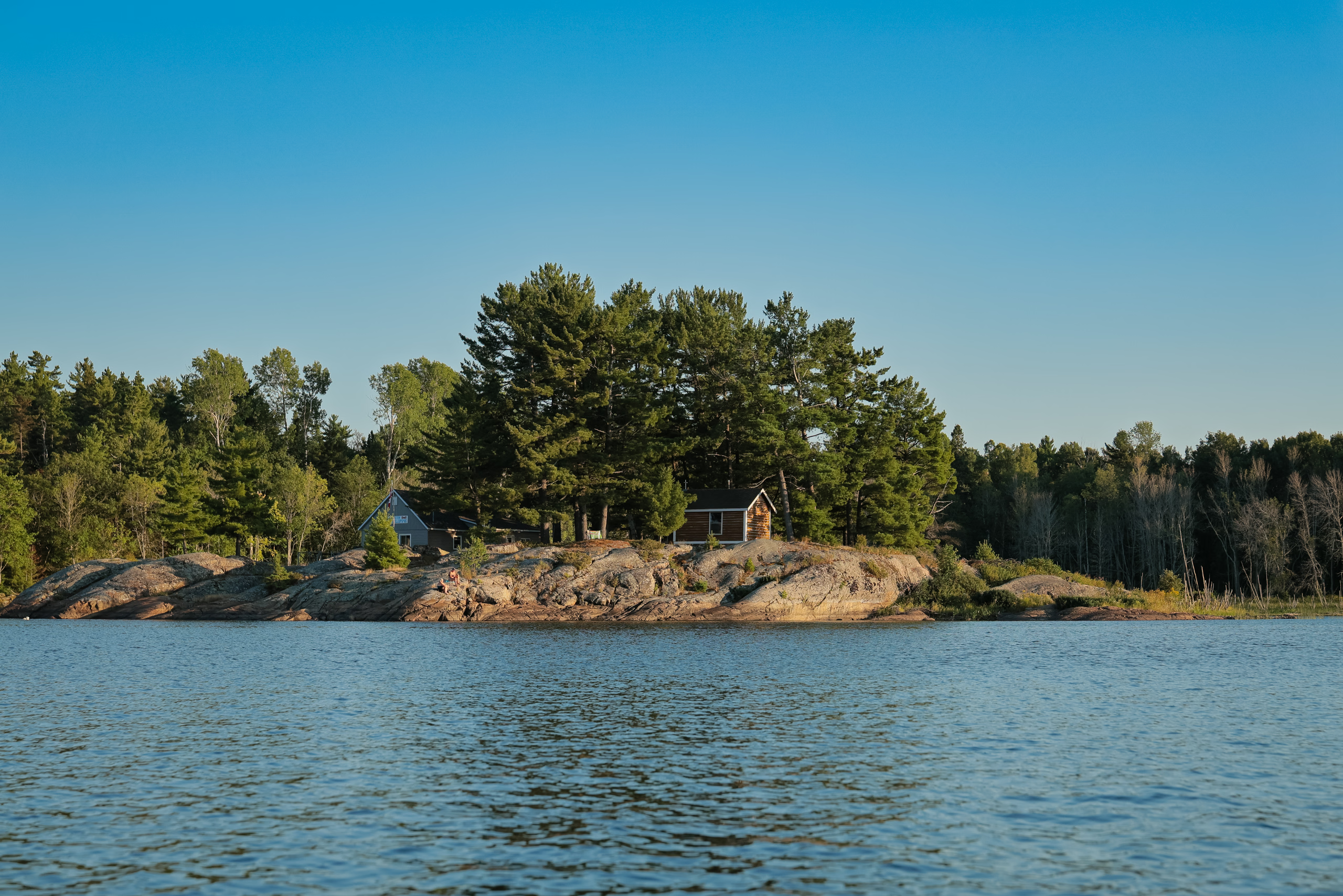
When we reached Beaverstone Bay, we had one known campsite left before committing to paddling all the way to Mill Lake. By then, the shoreline had turned heavily forested and not especially appealing—teeming with bugs, probably.
So we made a drastic call: we’d skip camping a third night altogether and paddle back to the car that day. There were six or seven hours of daylight left, and according to Jeff’s Map, that was roughly how long the return would take.
I’d assumed Collins Inlet would shield us from the wind. Instead, it funnelled a steady headwind straight into us. We bounced between the north and south sides of the channel, chasing brief pockets of relief.
By the time we were halfway to Mill Lake, Porthos was visibly exhausted from sitting in the same spot, and Lily and I were deep into shoulder cramps. The sun sank lower as we entered the narrower western stretch of the inlet. Campsites began appearing again, and every single one of them tempting me to stop.
Later, Lily told me she’d coped with the fatigue by slipping into a meditative rhythm with each paddle stroke. I managed by alternating sides obsessively, focusing on technique, and watching the trees slide past instead of staring into the distance ahead.
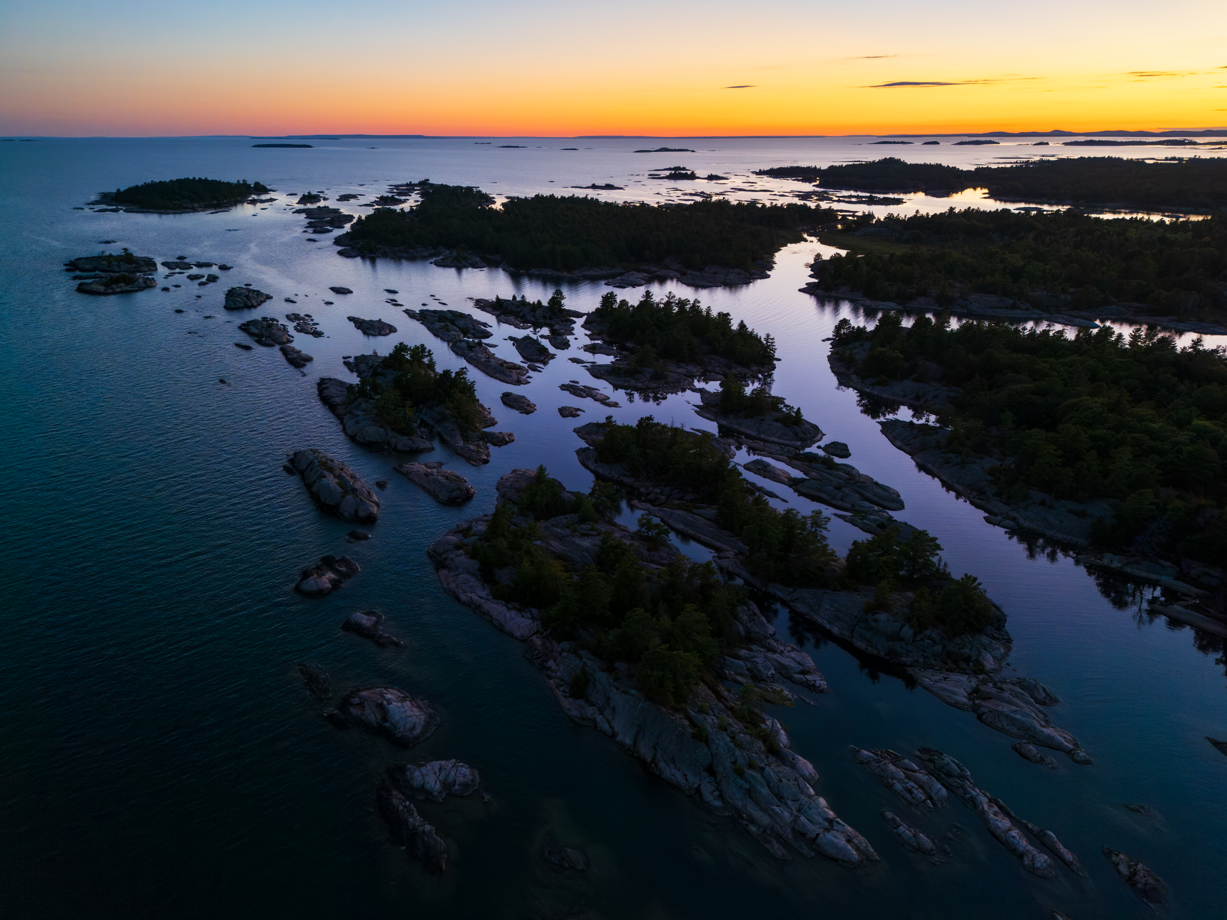
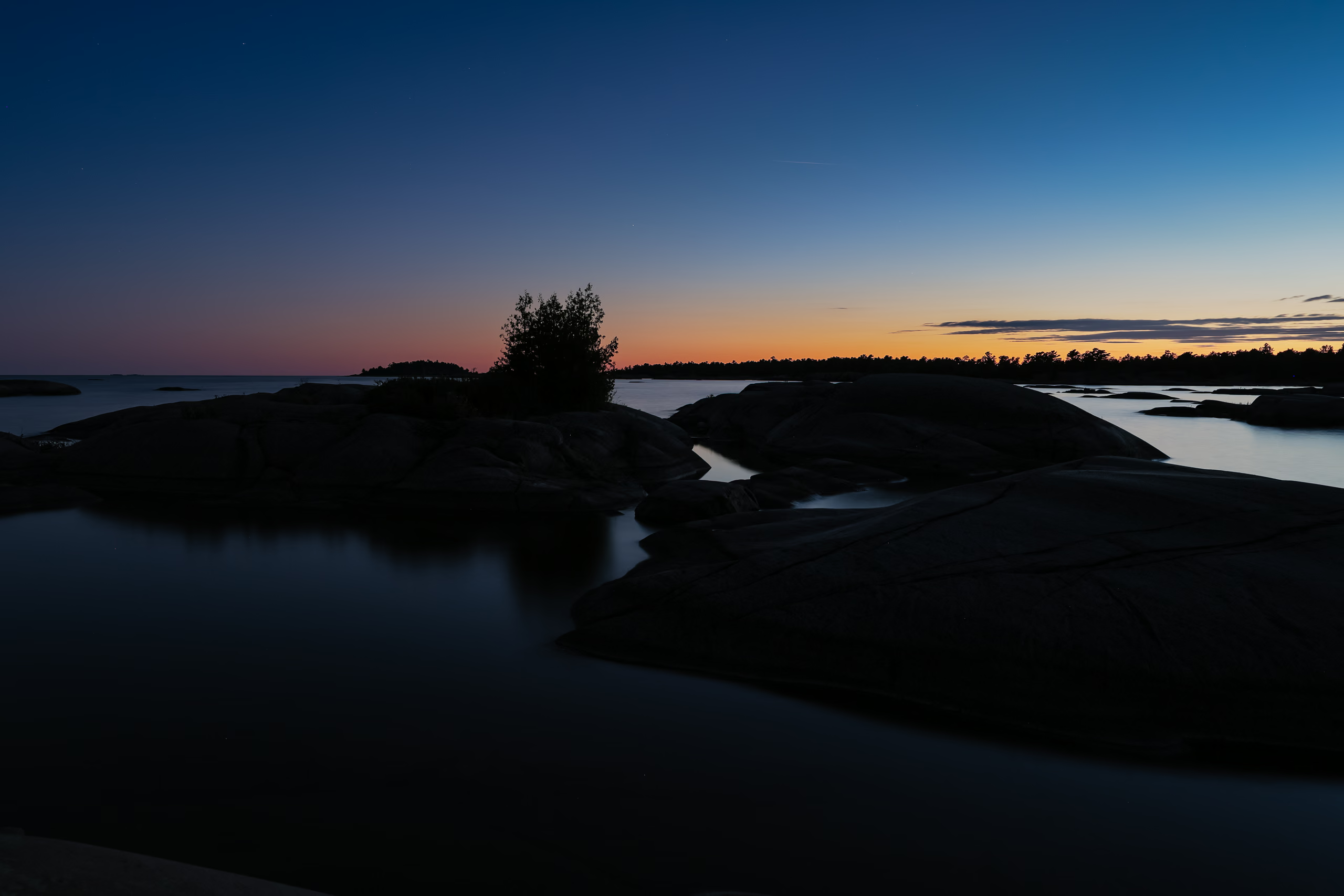
As the sun dipped below the horizon, we passed a man stepping out onto his cottage balcony in a loose robe. We exchanged a few quick words, and he told us we weren’t far from the Chikanishing River mouth. Moments later, we emerged into the Western Entrance under early twilight.
It was full twilight when we pulled into the floating dock at the parking lot, ending a brutal slog. In just over eight hours, without breaks, we’d paddled at least 31.5 km from Moose Bay, up Beaverstone Bay, and west along the entire length of Collins Inlet. A large fish startled me near shitless as we approached the dock where we unloaded the boat and packed the car by headlamp, feeding a dozen mosquitoes in the process. And then we were off.
The drive home took four hours. We were wrecked and ravenous, having not eaten since breakfast. Lily ordered two large pizzas from a Domino’s in Parry Sound—one for each of us. I finished mine during the drive. It was the best pizza I’ve ever had, which is almost certainly just hunger talking.